
McFarlane Lake topographic map
Interactive map
Click on the map to display elevation.
About this map
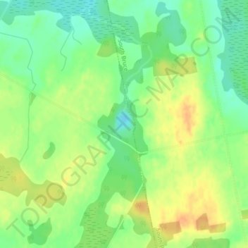
Name: McFarlane Lake topographic map, elevation, terrain.
Average elevation: 287 m
Minimum elevation: 270 m
Maximum elevation: 303 m
Other topographic maps
Click on a map to view its topography, its elevation and its terrain.
Silver Lake
Canada > Ontario > Huron-Kinloss
Silver Lake, Silver Lake Road, Huron-Kinloss, Bruce County, Ontario, Canada
Average elevation: 280 m