
Layton topographic map
Interactive map
Click on the map to display elevation.
About this map
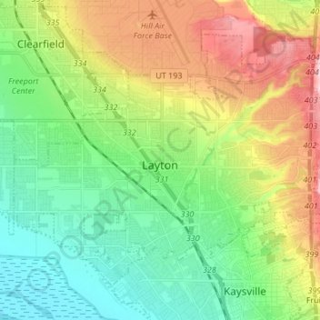
Name: Layton topographic map, elevation, terrain.
Location: Layton, Davis County, Utah, United States (41.03668 -112.03586 41.11657 -111.90119)
Average elevation: 1,373 m
Minimum elevation: 1,278 m
Maximum elevation: 1,551 m