
Gurthari topographic map
Interactive map
Click on the map to display elevation.
About this map
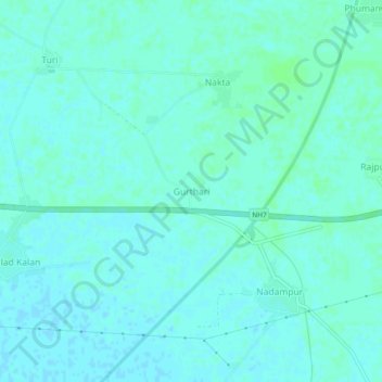
Name: Gurthari topographic map, elevation, terrain.
Location: Gurthari, Sangrur Tahsil, Sangrur, Punjab, India (30.24416 76.08691 30.28416 76.12691)
Average elevation: 246 m
Minimum elevation: 243 m
Maximum elevation: 249 m