
Marjorie Lake topographic map
Interactive map
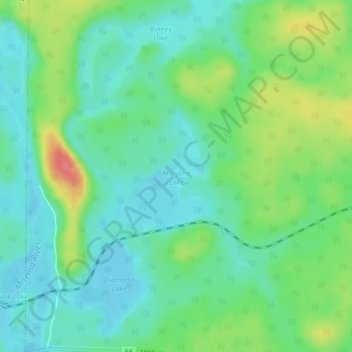
Click on the map to display elevation.
About this map
Name: Marjorie Lake topographic map, elevation, terrain.
Average elevation: 297 m
Minimum elevation: 275 m
Maximum elevation: 344 m
Other topographic maps
Click on a map to view its topography, its elevation and its terrain.
Diamond Lake
Canada > Ontario > Larder Lake Township
Diamond Lake, Highway 66, Larder Lake Township, Timiskaming District, Northeastern Ontario, Ontario, P0K 1L0, Canada
Average elevation: 297 m