
1012 topographic map
Interactive map
Click on the map to display elevation.
About this map
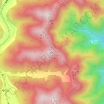
Name: 1012 topographic map, elevation, terrain.
Location: 1012, Samcheok-si, Gangwon-do, South Korea (37.28310 129.00656 37.28320 129.00666)
Average elevation: 801 m
Minimum elevation: 460 m
Maximum elevation: 999 m