
Tremonton topographic map
Interactive map
Click on the map to display elevation.
About this map
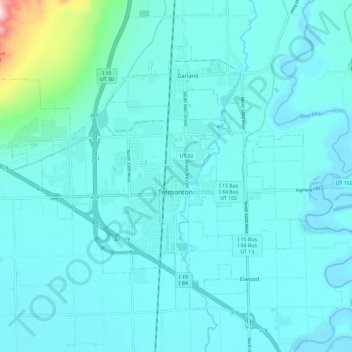
Name: Tremonton topographic map, elevation, terrain.
Location: Tremonton, Box Elder County, Utah, 84312, United States (41.69190 -112.24030 41.74008 -112.12314)
Average elevation: 1,333 m
Minimum elevation: 1,285 m
Maximum elevation: 1,771 m