
Yuza topographic map
Interactive map
Click on the map to display elevation.
About this map
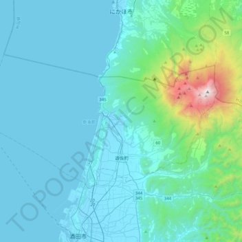
Name: Yuza topographic map, elevation, terrain.
Location: Yuza, Akumi County, Yamagata Prefecture, Japan (38.97586 139.66809 39.14712 140.06720)
Average elevation: 242 m
Minimum elevation: -3 m
Maximum elevation: 2,220 m