
Town of Ira topographic map
Interactive map
Click on the map to display elevation.
About this map
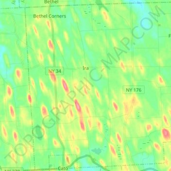
Name: Town of Ira topographic map, elevation, terrain.
Location: Town of Ira, Cayuga County, New York, 13033, United States (43.16712 -76.60084 43.25675 -76.47596)
Average elevation: 137 m
Minimum elevation: 109 m
Maximum elevation: 189 m