
La Salle topographic map
Interactive map
Click on the map to display elevation.
About this map
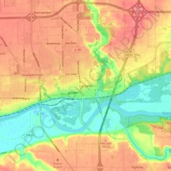
Name: La Salle topographic map, elevation, terrain.
Location: La Salle, LaSalle County, Illinois, 61301, United States (41.29337 -89.13175 41.37337 -89.05175)
Average elevation: 175 m
Minimum elevation: 132 m
Maximum elevation: 209 m