
Magpie topographic map
Interactive map
Click on the map to display elevation.
About this map
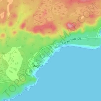
Name: Magpie topographic map, elevation, terrain.
Location: Magpie, Minganie, Côte-Nord, Quebec, Canada (50.29391 -64.51198 50.33391 -64.47198)
Average elevation: 38 m
Minimum elevation: -1 m
Maximum elevation: 113 m