
Orzola topographic map
Interactive map
Click on the map to display elevation.
About this map
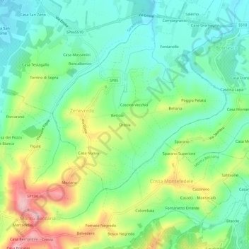
Name: Orzola topographic map, elevation, terrain.
Location: Orzola, PV, Lombardy, 27049, Italy (45.03198 9.31533 45.07198 9.35533)
Average elevation: 144 m
Minimum elevation: 78 m
Maximum elevation: 272 m