
Copper Cliff topographic map
Interactive map
Click on the map to display elevation.
About this map
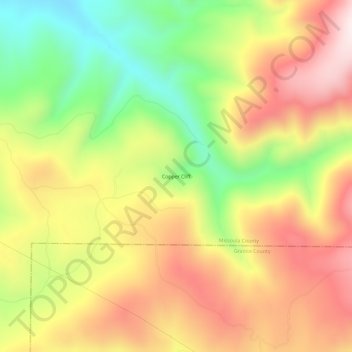
Name: Copper Cliff topographic map, elevation, terrain.
Location: Copper Cliff, Missoula County, Montana, USA (46.78882 -113.47480 46.82882 -113.43480)
Average elevation: 1,626 m
Minimum elevation: 1,323 m
Maximum elevation: 1,909 m