
Letchworth State Park topographic map
Interactive map
Click on the map to display elevation.
About this map
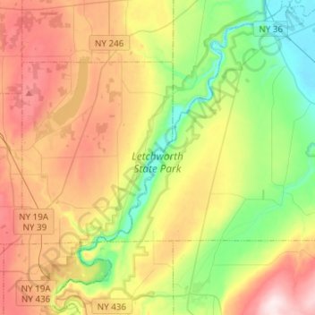
Name: Letchworth State Park topographic map, elevation, terrain.
Average elevation: 357 m
Minimum elevation: 168 m
Maximum elevation: 615 m
Other topographic maps
Click on a map to view its topography, its elevation and its terrain.
Springwater
United States > New York > Livingston County
Springwater, Livingston County, New York, United States
Average elevation: 495 m