
Matano topographic map
Interactive map
Click on the map to display elevation.
About this map
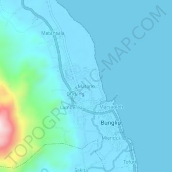
Name: Matano topographic map, elevation, terrain.
Location: Matano, Central Sulawesi, Indonesia (-2.55890 121.94620 -2.51890 121.98620)
Average elevation: 50 m
Minimum elevation: -1 m
Maximum elevation: 496 m