
Engelhartszell an der Donau topographic map
Interactive map
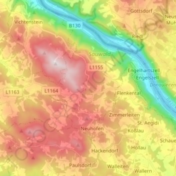
Click on the map to display elevation.
About this map
Name: Engelhartszell an der Donau topographic map, elevation, terrain.
Location: Engelhartszell an der Donau, Bezirk Schärding, 4090, Austria (48.46313 13.66605 48.53050 13.78972)
Average elevation: 588 m
Minimum elevation: 276 m
Maximum elevation: 884 m