
Ignace topographic map
Interactive map
Click on the map to display elevation.
About this map
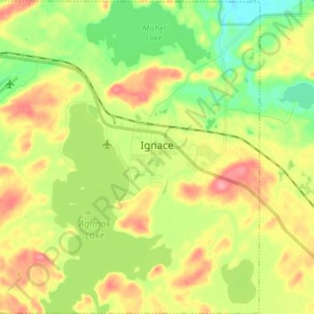
Name: Ignace topographic map, elevation, terrain.
Location: Ignace, Kenora District, Ontario, P0T 1T0, Canada (49.36595 -91.74450 49.45275 -91.61091)
Average elevation: 455 m
Minimum elevation: 413 m
Maximum elevation: 507 m