
Prineville topographic map
Interactive map
Click on the map to display elevation.
About this map
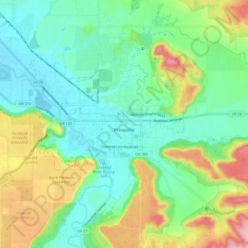
Name: Prineville topographic map, elevation, terrain.
Location: Prineville, Crook County, Oregon, United States (44.27194 -120.92143 44.33168 -120.80739)
Average elevation: 928 m
Minimum elevation: 861 m
Maximum elevation: 1,073 m