
Lębork topographic map
Interactive map
Click on the map to display elevation.
About this map
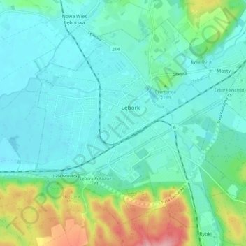
Name: Lębork topographic map, elevation, terrain.
Location: Lębork, Lębork County, Pomeranian Voivodeship, 84-300, Poland (54.51208 17.70993 54.55910 17.80564)
Average elevation: 39 m
Minimum elevation: 11 m
Maximum elevation: 137 m