
Detour topographic map
Interactive map
Click on the map to display elevation.
About this map
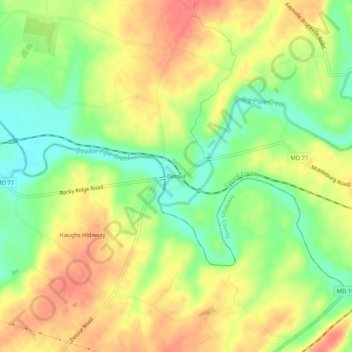
Name: Detour topographic map, elevation, terrain.
Location: Detour, Carroll County, Maryland, 21757, USA (39.58399 -77.28804 39.62399 -77.24804)
Average elevation: 125 m
Minimum elevation: 92 m
Maximum elevation: 155 m