
Pickton topographic map
Interactive map
Click on the map to display elevation.
About this map
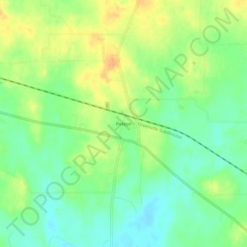
Name: Pickton topographic map, elevation, terrain.
Location: Pickton, Hopkins County, Texas, 75471, United States (33.00817 -95.41300 33.04817 -95.37300)
Average elevation: 159 m
Minimum elevation: 142 m
Maximum elevation: 179 m