
Little Ausable River topographic map
Interactive map
Click on the map to display elevation.
About this map
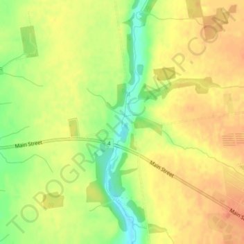
Name: Little Ausable River topographic map, elevation, terrain.
Average elevation: 291 m
Minimum elevation: 264 m
Maximum elevation: 306 m
Other topographic maps
Click on a map to view its topography, its elevation and its terrain.
Lucan Biddulph
Canada > Ontario > Lucan Biddulph
Lucan Biddulph, Middlesex County, Southwestern Ontario, Ontario, N0M 2J0, Canada
Average elevation: 297 m