
Nechako Canyon Protected Area topographic map
Interactive map
Click on the map to display elevation.
About this map
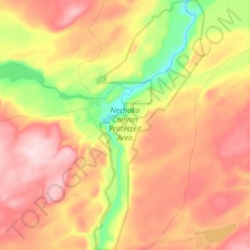
Name: Nechako Canyon Protected Area topographic map, elevation, terrain.
Average elevation: 861 m
Minimum elevation: 708 m
Maximum elevation: 982 m