
Lejre topographic map
Interactive map
Click on the map to display elevation.
About this map
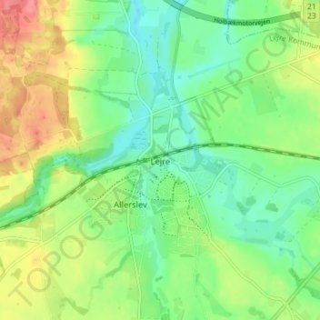
Name: Lejre topographic map, elevation, terrain.
Location: Lejre, Lejre Kommune, Region Zealand, 4320, Denmark (55.58434 11.95371 55.62434 11.99371)
Average elevation: 29 m
Minimum elevation: 1 m
Maximum elevation: 74 m