
Lomond topographic map
Interactive map
Click on the map to display elevation.
About this map
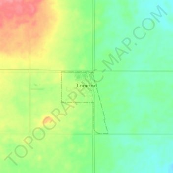
Name: Lomond topographic map, elevation, terrain.
Location: Lomond, Village of Lomond, Alberta, Canada (50.33014 -112.66164 50.37014 -112.62164)
Average elevation: 874 m
Minimum elevation: 847 m
Maximum elevation: 919 m