
Wolcott topographic map
Interactive map
Click on the map to display elevation.
About this map
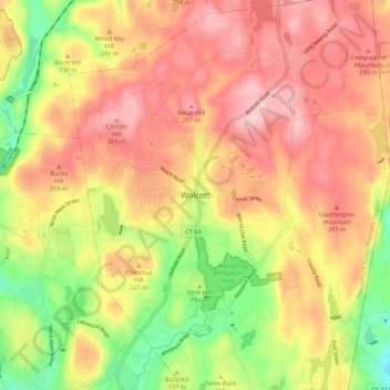
Name: Wolcott topographic map, elevation, terrain.
Location: Wolcott, New Haven County, Connecticut, 06716, United States (41.56232 -73.02677 41.64232 -72.94677)
Average elevation: 221 m
Minimum elevation: 94 m
Maximum elevation: 320 m