
Kalamazoo topographic map
Interactive map
Click on the map to display elevation.
About this map
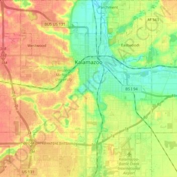
Name: Kalamazoo topographic map, elevation, terrain.
Location: Kalamazoo, Kalamazoo County, Michigan, United States (42.21556 -85.66271 42.33275 -85.53078)
Average elevation: 265 m
Minimum elevation: 227 m
Maximum elevation: 307 m
Other topographic maps
Click on a map to view its topography, its elevation and its terrain.
South Gull Lake
United States > Michigan > Kalamazoo County > South Gull Lake
South Gull Lake, Ross Township, Kalamazoo County, Michigan, 49060, United States
Average elevation: 274 m