
Drowning Ford topographic map
Interactive map
Click on the map to display elevation.
About this map
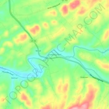
Name: Drowning Ford topographic map, elevation, terrain.
Location: Drowning Ford, Washington County, Virginia, USA (36.63150 -81.86095 36.67150 -81.82095)
Average elevation: 595 m
Minimum elevation: 538 m
Maximum elevation: 672 m