
Clipperton Island topographic map
Interactive map
Click on the map to display elevation.
About this map
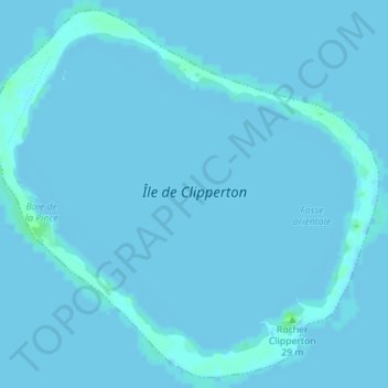
Name: Clipperton Island topographic map, elevation, terrain.
Location: Clipperton Island, France, Clipperton (eaux territoriales) (10.28715 -109.23461 10.31957 -109.19979)
Average elevation: 0 m
Minimum elevation: -3 m
Maximum elevation: 7 m