
Raamsdonksveer topographic map
Interactive map
Click on the map to display elevation.
About this map
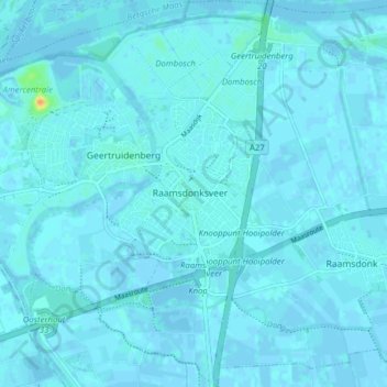
Name: Raamsdonksveer topographic map, elevation, terrain.
Location: Raamsdonksveer, Geertruidenberg, North Brabant, Netherlands (51.67184 4.84072 51.72015 4.90944)
Average elevation: 2 m
Minimum elevation: -4 m
Maximum elevation: 33 m
Other topographic maps
Click on a map to view its topography, its elevation and its terrain.
Geertruidenberg
Netherlands > North Brabant > Geertruidenberg
Geertruidenberg, North Brabant, Netherlands
Average elevation: 2 m