
Eagle Lake topographic map
Interactive map
Click on the map to display elevation.
About this map
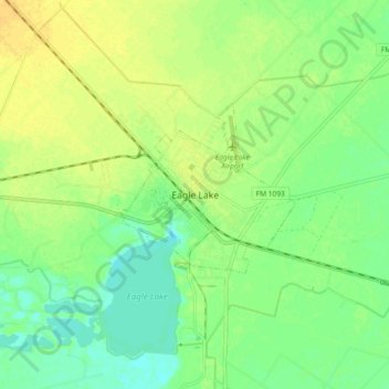
Name: Eagle Lake topographic map, elevation, terrain.
Location: Eagle Lake, Colorado County, Texas, 77434, United States (29.54954 -96.37124 29.62954 -96.29124)
Average elevation: 54 m
Minimum elevation: 42 m
Maximum elevation: 65 m