
Ban Nong Ko topographic map
Interactive map
Click on the map to display elevation.
About this map
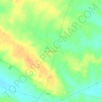
Name: Ban Nong Ko topographic map, elevation, terrain.
Location: Ban Nong Ko, Roi Et Province, Thailand (16.21876 103.90430 16.25876 103.94430)
Average elevation: 158 m
Minimum elevation: 141 m
Maximum elevation: 176 m