
Kokomo topographic map
Interactive map
Click on the map to display elevation.
About this map
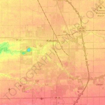
Name: Kokomo topographic map, elevation, terrain.
Location: Kokomo, Howard County, Indiana, United States (40.41027 -86.18426 40.53460 -86.06990)
Average elevation: 254 m
Minimum elevation: 206 m
Maximum elevation: 273 m
Other topographic maps
Click on a map to view its topography, its elevation and its terrain.
Greentown
United States > Indiana > Howard County
Greentown, Howard County, Indiana, United States
Average elevation: 258 m
Cassville
United States > Indiana > Howard County > Cassville
Cassville, Howard County, Indiana, United States
Average elevation: 252 m