
Stonington topographic map
Interactive map
Click on the map to display elevation.
About this map
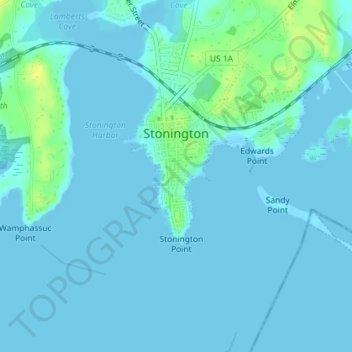
Name: Stonington topographic map, elevation, terrain.
Location: Stonington, New London County, Connecticut, USA (41.32540 -71.91201 41.33990 -71.89063)
Average elevation: 3 m
Minimum elevation: -1 m
Maximum elevation: 17 m