
Kaneohe topographic map
Interactive map
Click on the map to display elevation.
About this map
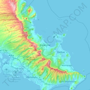
Name: Kaneohe topographic map, elevation, terrain.
Location: Kaneohe, Honolulu County, Hawaii, 96744, USA (21.25856 -157.96418 21.57856 -157.64418)
Average elevation: 116 m
Minimum elevation: -4 m
Maximum elevation: 933 m