
Carden topographic map
Interactive map
Click on the map to display elevation.
About this map
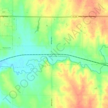
Name: Carden topographic map, elevation, terrain.
Location: Carden, Marshall County, Kansas, United States (39.80778 -96.60085 39.84778 -96.56085)
Average elevation: 387 m
Minimum elevation: 360 m
Maximum elevation: 414 m