
Tibesti topographic map
Interactive map
Click on the map to display elevation.
About this map
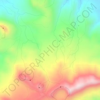
Name: Tibesti topographic map, elevation, terrain.
Location: Tibesti, Chad (19.91866 18.52006 19.91876 18.52016)
Average elevation: 3,140 m
Minimum elevation: 2,940 m
Maximum elevation: 3,346 m
Other topographic maps
Click on a map to view its topography, its elevation and its terrain.