
La Perla topographic map
Interactive map
Click on the map to display elevation.
About this map
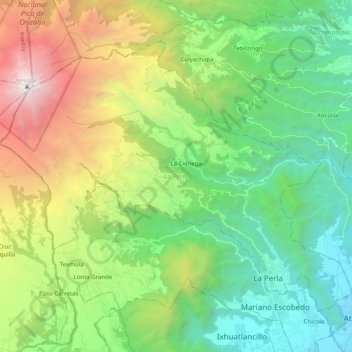
Name: La Perla topographic map, elevation, terrain.
Location: La Perla, Veracruz, 94151, México (18.91078 -97.28513 19.05391 -97.08716)
Average elevation: 2,646 m
Minimum elevation: 1,289 m
Maximum elevation: 5,580 m