
Reston topographic map
Interactive map
Click on the map to display elevation.
About this map
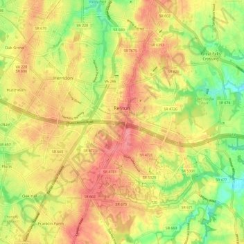
Name: Reston topographic map, elevation, terrain.
Location: Reston, Fairfax County, Virginia, United States (38.90824 -77.39326 39.00292 -77.30486)
Average elevation: 106 m
Minimum elevation: 51 m
Maximum elevation: 146 m