
Clova topographic map
Interactive map
Click on the map to display elevation.
About this map
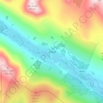
Name: Clova topographic map, elevation, terrain.
Location: Clova, Angus, Scotland, DD8 4RA, United Kingdom (56.82425 -3.12499 56.86425 -3.08499)
Average elevation: 435 m
Minimum elevation: 222 m
Maximum elevation: 793 m