
Cuyahoga Falls topographic map
Interactive map
Click on the map to display elevation.
About this map
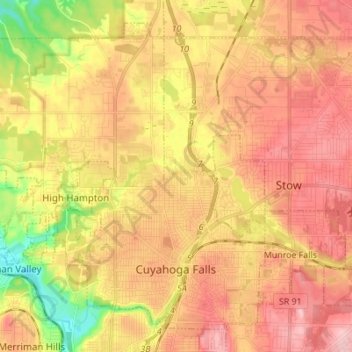
Name: Cuyahoga Falls topographic map, elevation, terrain.
Location: Cuyahoga Falls, Summit County, Ohio, USA (41.11706 -81.58736 41.20726 -81.44992)
Average elevation: 312 m
Minimum elevation: 224 m
Maximum elevation: 372 m