
City of Schenectady topographic map
Interactive map
Click on the map to display elevation.
About this map
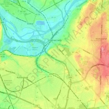
Name: City of Schenectady topographic map, elevation, terrain.
Average elevation: 100 m
Minimum elevation: 60 m
Maximum elevation: 154 m
Other topographic maps
Click on a map to view its topography, its elevation and its terrain.
Bellevue
United States > New York > Schenectady County > City of Schenectady
Bellevue, City of Schenectady, Schenectady County, New York, 12306, United States
Average elevation: 94 m