
Whiskey Gap topographic map
Interactive map
Click on the map to display elevation.
About this map
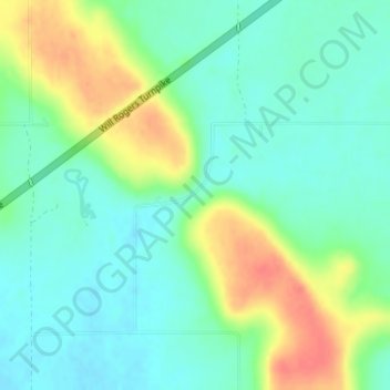
Name: Whiskey Gap topographic map, elevation, terrain.
Location: Whiskey Gap, Mayes County, Oklahoma, United States (36.45185 -95.34185 36.47185 -95.32185)
Average elevation: 218 m
Minimum elevation: 198 m
Maximum elevation: 257 m