
Debolt topographic map
Interactive map
Click on the map to display elevation.
About this map
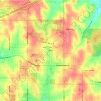
Name: Debolt topographic map, elevation, terrain.
Location: Debolt, Douglas County, Nebraska, 68152, USA (41.30361 -96.03168 41.34361 -95.99168)
Average elevation: 367 m
Minimum elevation: 319 m
Maximum elevation: 395 m