
Riverton topographic map
Interactive map
Click on the map to display elevation.
About this map
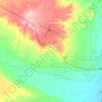
Name: Riverton topographic map, elevation, terrain.
Location: Riverton, Fremont County, Wyoming, United States (43.00874 -108.48887 43.07737 -108.34620)
Average elevation: 1,529 m
Minimum elevation: 1,470 m
Maximum elevation: 1,669 m