
Kalasin topographic map
Interactive map
Click on the map to display elevation.
About this map
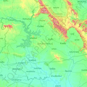
Name: Kalasin topographic map, elevation, terrain.
Location: Kalasin, Thailand (16.18175 103.11298 17.10111 104.24609)
Average elevation: 199 m
Minimum elevation: 127 m
Maximum elevation: 666 m
Other topographic maps
Click on a map to view its topography, its elevation and its terrain.