
Brule County topographic map
Interactive map
Click on the map to display elevation.
About this map
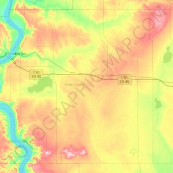
Name: Brule County topographic map, elevation, terrain.
Location: Brule County, South Dakota, United States (43.49919 -99.46864 43.93522 -98.79435)
Average elevation: 505 m
Minimum elevation: 408 m
Maximum elevation: 640 m
Other topographic maps
Click on a map to view its topography, its elevation and its terrain.
Chamberlain
United States > South Dakota > Brule County
Chamberlain, Brule County, South Dakota, 57325, United States
Average elevation: 482 m