
Rupert topographic map
Interactive map
Click on the map to display elevation.
About this map
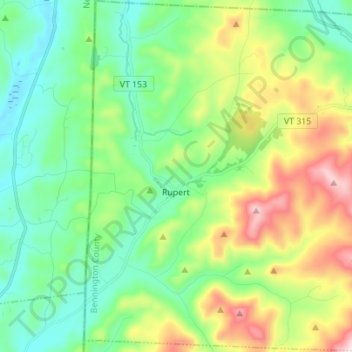
Name: Rupert topographic map, elevation, terrain.
Location: Rupert, Bennington County, Vermont, USA (43.21364 -73.25911 43.31450 -73.12266)
Average elevation: 360 m
Minimum elevation: 156 m
Maximum elevation: 822 m