
Cần Thơ topographic map
Interactive map
Click on the map to display elevation.
About this map
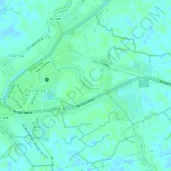
Name: Cần Thơ topographic map, elevation, terrain.
Location: Cần Thơ, Ô Môn District, Can Tho City, Vietnam (10.10842 105.62385 10.11794 105.63603)
Average elevation: 4 m
Minimum elevation: -3 m
Maximum elevation: 7 m
Other topographic maps
Click on a map to view its topography, its elevation and its terrain.
An Hội
Vietnam > Can Tho City > An Hội
An Hội, Ninh Kiều District, Can Tho City, 8200, Vietnam
Average elevation: 4 m
Hưng Phú
Vietnam > Can Tho City > Hưng Phú
Hưng Phú, Cái Răng District, Can Tho City, 8200, Vietnam
Average elevation: 3 m