
Ardoch topographic map
Interactive map
Click on the map to display elevation.
About this map
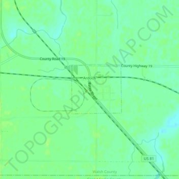
Name: Ardoch topographic map, elevation, terrain.
Location: Ardoch, Walsh County, North Dakota, United States (48.20179 -97.34639 48.20914 -97.33506)
Average elevation: 251 m
Minimum elevation: 245 m
Maximum elevation: 255 m
Other topographic maps
Click on a map to view its topography, its elevation and its terrain.
Minto
United States > North Dakota > Walsh County
Minto, Walsh County, North Dakota, United States
Average elevation: 249 m