
Little Manitou Lake topographic map
Interactive map
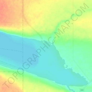
Click on the map to display elevation.
About this map
Name: Little Manitou Lake topographic map, elevation, terrain.
Average elevation: 510 m
Minimum elevation: 490 m
Maximum elevation: 536 m
Other topographic maps
Click on a map to view its topography, its elevation and its terrain.
Manitou Beach
Canada > Saskatchewan > Manitou Beach
Manitou Beach, Saskatchewan, Canada
Average elevation: 525 m